Several years ago I (and a lot of the internet) was very taken with Daniel Huffman’s techniques for creating hillshade in Blender, and the subsequent explosion of modern hillsahde imagery layered with vintage maps. After getting a new computer and basking in the increased processing power, I was able to make some pretty significant improvements on my original attempt in QGIS.
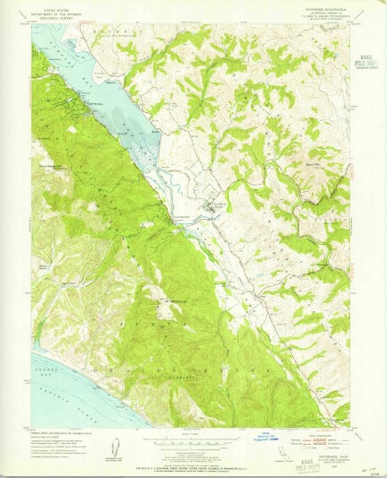
Here’s the original map from the USGS.
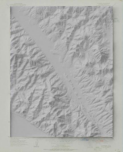
To which I added the hill-shade.
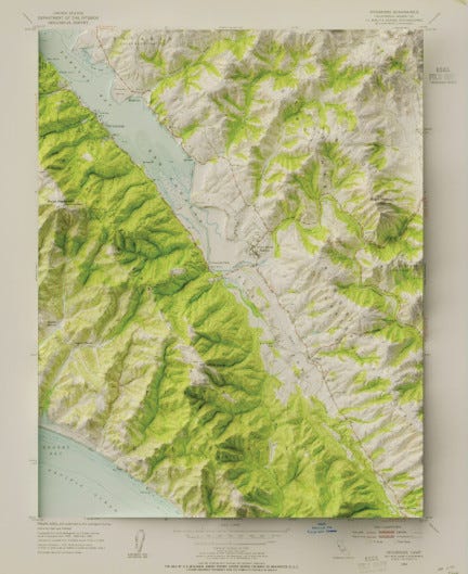
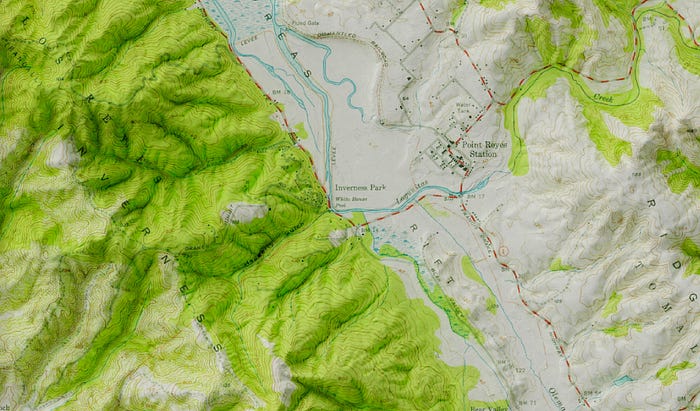
Which I then colored with the original map. I’m really pleased with the level of detail, even close up. Here is Point Reyes station and the surrounding hills.
Compared to what I was able to do on my old computer in QGIS, the difference is night and day. The shadows are softer, the light gentler, and the details better. Last May I was impressed with how much QGIS could do. Side by side, however, there is no comparison.
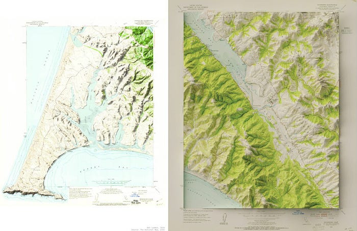
That said, there is still a lot to do. I still want to improve the lighting and contrast, and figure out how to make maps with irregular outlines, like the original Point Reyes one on the right. I have a feeling that two or three iterations later, the process I use for these maps will be at least somewhat different, but for the moment, I’m quite happy with the results.