John Nelson makes some amazing tutorials and how-to videos for ArcGIS. While I love ArcGIS, I wanted to see how close I could get using the free and open-source QGIS. For anyone looking to learn more about QGIS, I’d highly recommend this approach. The steps are sometimes fairly different, so it’s a great way to get to know the software.
I see this process as honing my aesthetic sense for what works on the page, as well as expanding my technical knowledge. It’s also good in that it gives you a project, and a rough set of ideas for how to proceed, but you can’t fall back on following a written list of instructions. You really have to do some research and figure out how to get QGIS to do what you want.
Occasionally I’ve had to start in QGIS before moving to Illustrator, and some of the tutorials have been flat out impossible given the differences in the programs, but it’s a great way to practice making visually-appealing maps, learn more about cartography, and push the limits of what QGIS can do.
I haven’t made step-by-step instructions for these maps the way John Nelson has, but if you have any questions, feel free to reach out and I’ll see what I can do to help.
Here are a few of my favorites.
Based on this map of the Rift Valley.
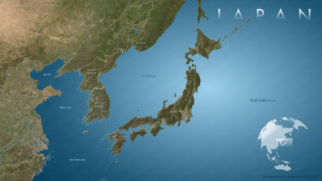
Based on this map of Indonesia.
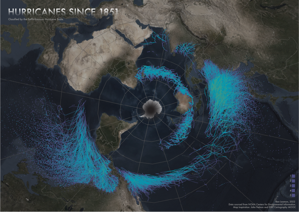
Based on this hurricane map tutorial.
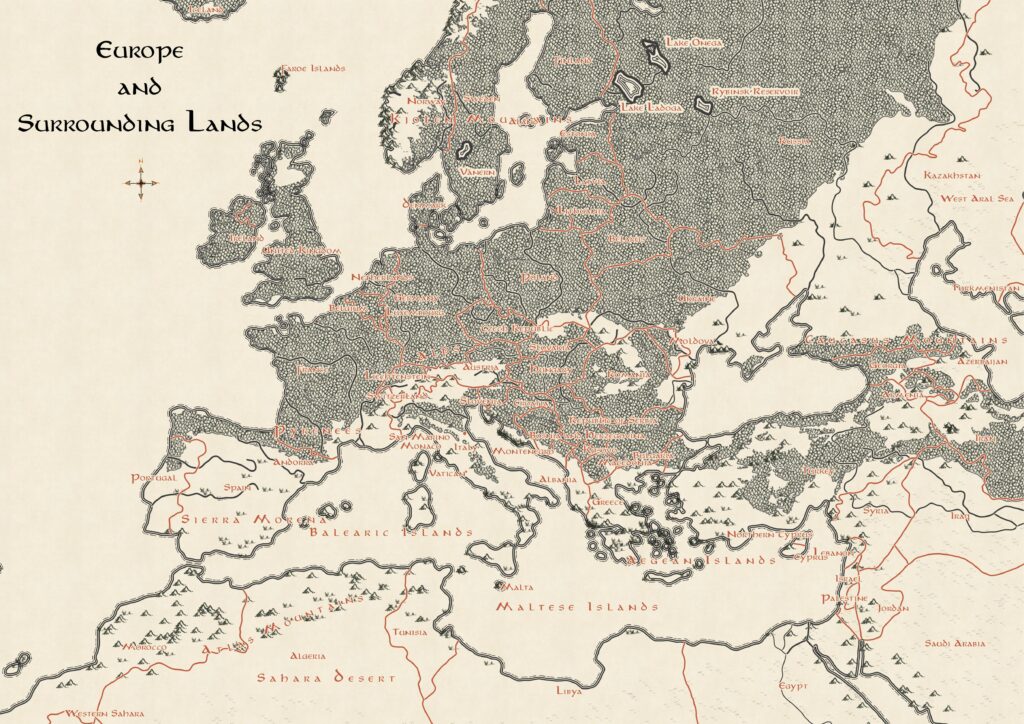
Based on this map, which is in turn based off of Tolkein’s map of Middle Earth.