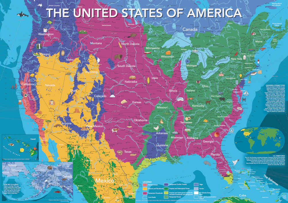
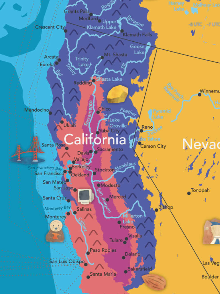
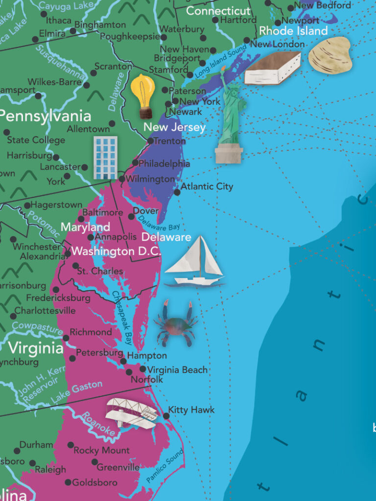
A bit over a year after completing my world map, I’ve finished a map of the United States. In the same style as the world map, it features important cities, rivers, lakes, and ecoregions. Decorated with over 75 handmade illustrations depicting significant plants, animals, cultural and historical events, this map showcases some of what makes the US a unique and interesting place.
I’d been wanting to make a US map for some time. The longer I’ve lived outside the US, the more I find it intriguing, interesting, and bizarre in the best sense of the word. The research process for this map turned up lots of cool places I’d like to one day visit, and provided a chance to illustrate some of my existing favorites.
While making the map, I also wanted to emphasize the US’s international connections. While there wasn’t space to include them in full, neighboring countries are depicted at the same level of detail, as are the network of undersea cables that provide the US with internet connectivity to the rest of the world.
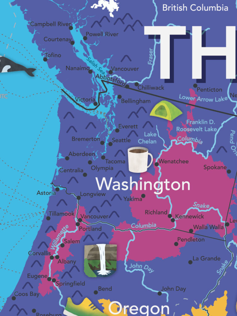
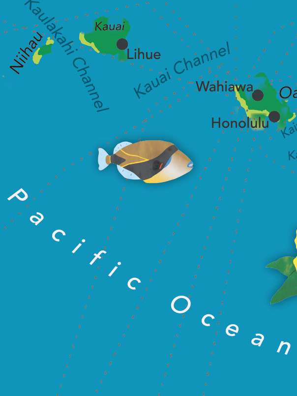
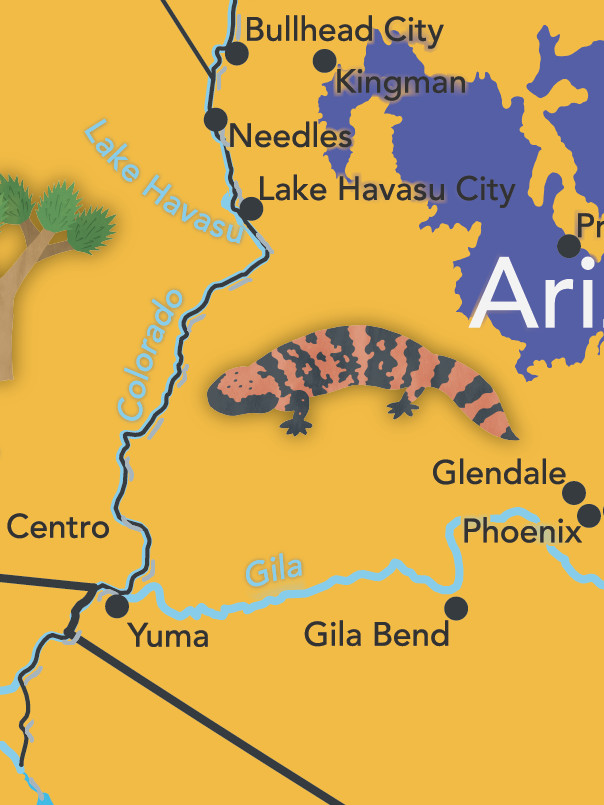
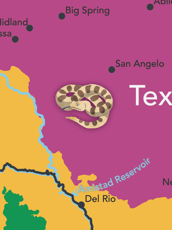
I also wanted to include as many illustrations as possible of the diverse natural beauty found in the US.
I think it turned out well, and I’m really proud of it! Enjoy the images posted here, and stay tuned — hopefully I’ll be able to offer prints sometime soon for those who are interested.
As always, if you have any feedback or ideas for things that would be cool to include in the future, let me know.
I hope you like the map!